Die Ursprungsroute der South Garda Bike Region und die Strecke, mit der alles begann. Eine komplette Runde durch Weinberge, die Hügel der Moränenlandschaft und die Landschaft von Castelnuovo del Garda — benannt nach der historischen lokalen Rebsorte, die noch heute in den Feldern entlang der Strecke angebaut wird. Abwechslungsreiches Terrain, schöne Ausblicke und kaum Verkehr von Anfang bis Ende.
Mit 37 km und nur 177 Höhenmetern ist die Route für eine große Bandbreite an Fahrern geeignet. Die Anstiege sind sanft, die Schotterabschnitte gut fahrbar und die Ausblicke durchgehend lohnenswert. Perfekt für eine halbtägige Tour oder einen entspannten Vormittag auf dem Rad.
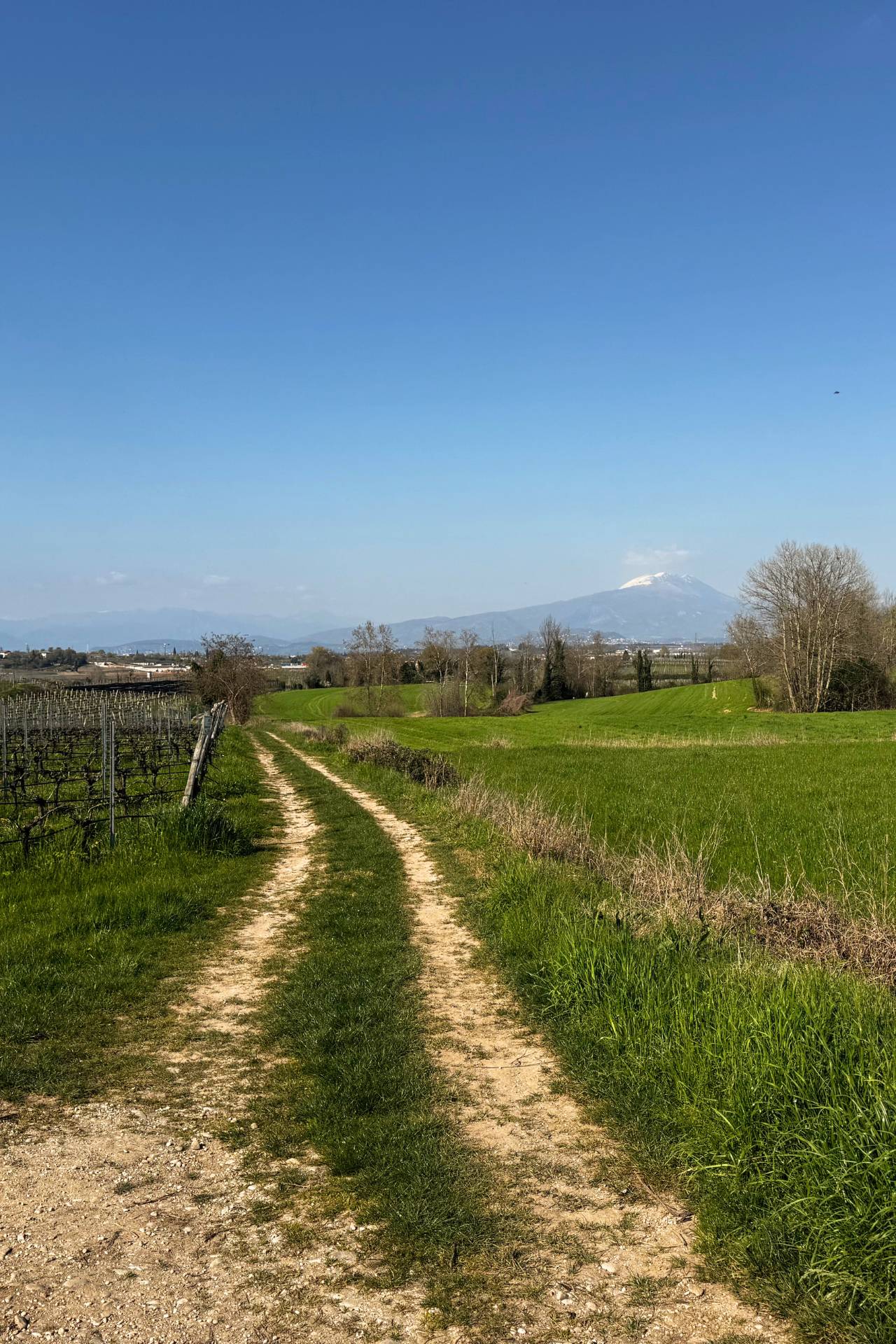
Die Route beginnt am Sportzentrum Oregolo in Castelnuovo del Garda – es gibt gute Parkmöglichkeiten und eine Bar für einen Kaffee vor dem Start. Innerhalb weniger Minuten sind die Hauptstraßen hinter Ihnen und Sie fahren auf ruhigen Landstraßen zwischen Apfelplantagen und Weinbergen. Der erste Schotterabschnitt folgt bald darauf: offenes Feld, weicher Untergrund und eine Stille, die einen dankbar macht, dass man das Auto stehen gelassen hat.
Unterwegs kommen Sie an den Scuderie del Garda vorbei, einem Gestüt mitten im Grünen, bevor Sie auf einem längeren Asphaltstück nach Sandrà fahren – einem der kleinen Weiler von Castelnuovo. Hier verbinden Sie einige Kopfsteinpflasterstraßen mit den langen Schotterwegen, die sich durch die dahinter liegenden Weinberge schlängeln.
Nach mehreren Kilometern Fahrt zwischen den Reben erreicht die Route die Gardesana, die du direkt neben Gardaland überquerst. Ein schmaler Weg führt am gesamten Vergnügungspark entlang – ein seltsam friedlicher Kontrast zu dem, was auf der anderen Seite des Zauns vor sich geht – und bringt dich direkt ans Seeufer.
Von dort folgen Sie dem Wasser zum Lido Campanello, einem natürlichen Rastplatz mit Cafés und einem guten Blick auf den See. Dann biegt die Straße ins Landesinnere ab, vorbei an einem breiten und gemächlich dahinplätschernden Golfplatz, bevor sie durch die langen, geraden Agrarstraßen der offenen Landschaft nach Süden führt und Sie nach Oliosi, einem weiteren Weiler von Castelnuovo, bringt.
Fast geschafft. Eine Linkskurve am Friedhof von Oliosi führt Sie durch einen letzten Abschnitt von Weinbergen und Landstraßen, bevor die Route zurück nach Castelnuovo schwenkt und Sie zu Ihrem Ausgangspunkt zurückbringt.